


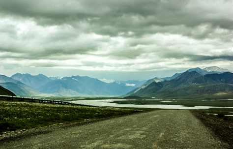
Alaska's Brooks Range, Galbraith Lake and the Trans-Alaska pipeline seen from mile marker 276 on the James W. Dalton Highway (North Slope Haul Road/SR 11) nearly a mile north of Galbraith Airport Road.
James W. Dalton Highway MM 276, North Slope Borough, Alaska: 28 June 2011
Using Mom's excellent photographs to plan out my own trip to Deadhorse, I could not help but do an edit of one of my favorite shots in October 2012 and then use it as my wallpaper.
Photo Credit: © Carol Nichelson