Other Photographers »
IMG_1420.jpg
Photograph
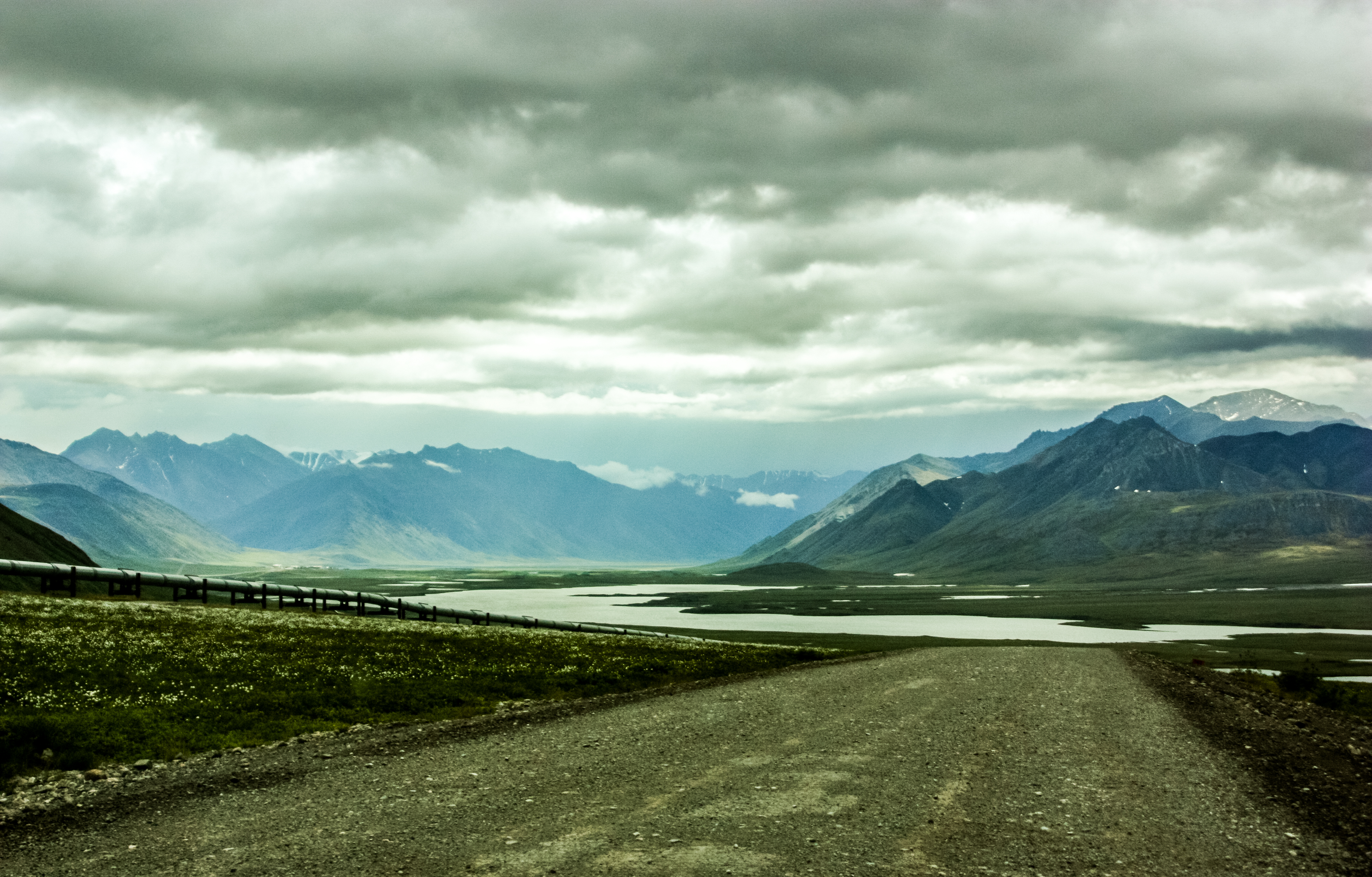
Alaska's Brooks Range, Galbraith Lake and the Trans-Alaska pipeline seen from mile marker 276 on the James W. Dalton Highway (North Slope Haul Road/SR 11) nearly a mile north of Galbraith Airport Road.
James W. Dalton Highway MM 276, North Slope Borough, Alaska
Original Photo by Carol Nichelson
2011-06-28 1912:17
Published
Related Mount Sutro Article
The Way To Atigun Pass
The Songs That We Hear Are Just Songs Of Our Own
Location
Data
| Pixel Resolution: | 4271×2730 |
| File Size: | 6.53 megabytes |
| Camera Model: | Canon EOS DIGITAL REBEL XSi |
| Shutter Speed: | 1/3200 sec |
| Aperture: | f/4 |
| ISO Sensitivity: | 400 |
| Exposure Compensation: | 0 EV |
| Metering Mode: | Spot |
| Flash Fired: | No Flash |
| Focal Length: | 35 mm |
| Lens Type: | 28-300mm |
| Province/State: | Alaska |
| Latitude: | 68.5065583333 |
| Latitude Reference: | N |
| Longitude: | 149.463645 |
| Longitude Reference: | W |
Search