Photograph
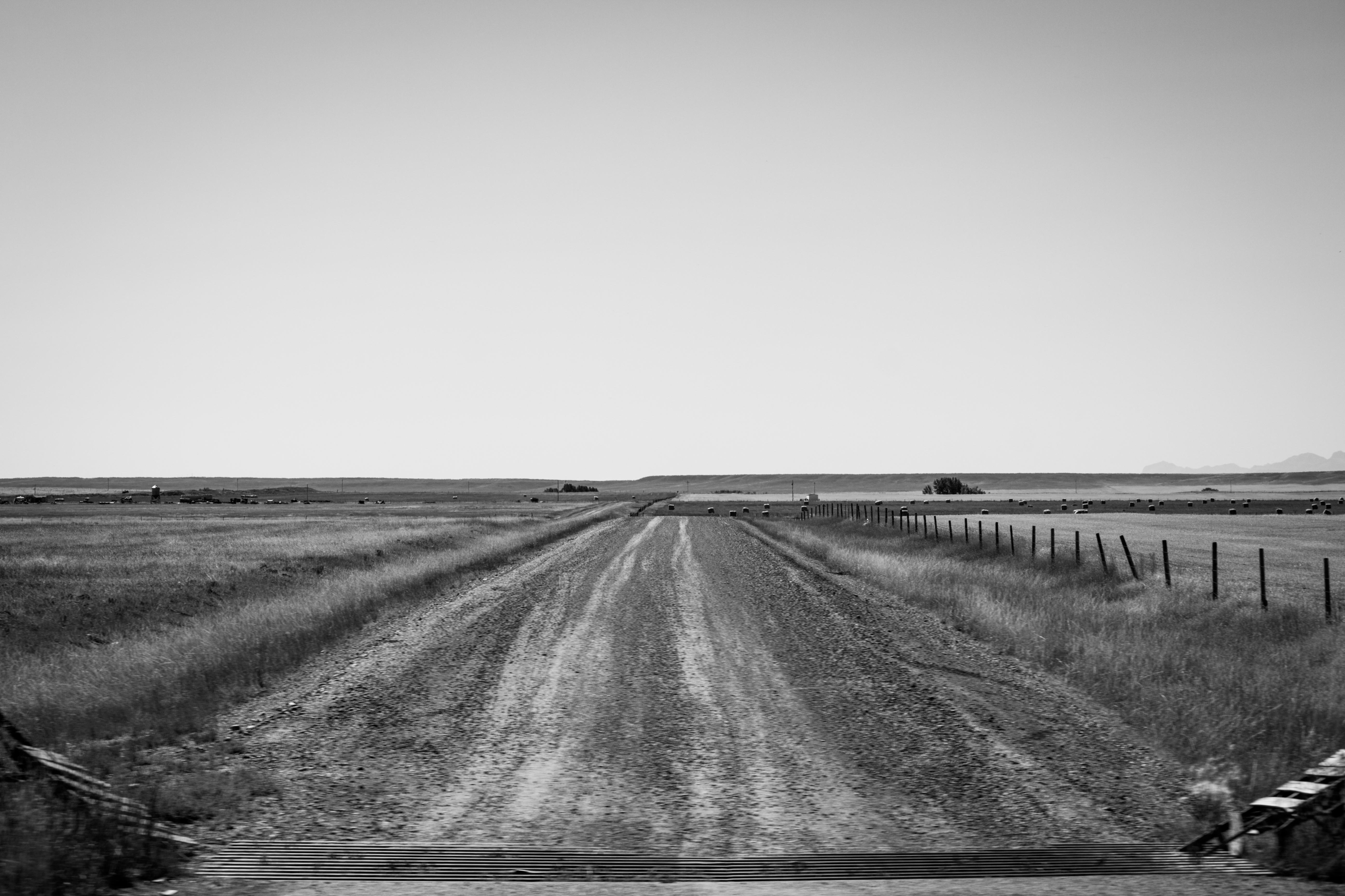
A cattle grid demarcates the start of dirt and gravel Chatterton Road leading to agricultural lands inside the Blackfeet Indian Reservation.
U.S. Highway 2 at Chatterton Road, Cut Bank, Montana
2019-09-03 1219:16
Published
Related Mount Sutro Article
The Words Half Spoken And Thoughts Unclear
Location
Data
| Pixel Resolution: | 5184×3456 |
| File Size: | 6.55 megabytes |
| Camera Model: | Canon EOS REBEL T2i |
| Shutter Speed: | 1/400 sec |
| Aperture: | f/8 |
| ISO Sensitivity: | 100 |
| Exposure Compensation: | 0 EV |
| Metering Mode: | Pattern |
| Flash Fired: | No Flash |
| Focal Length: | 55 mm |
| Lens Type: | EF-S55-250mm f/4-5.6 IS |
| City: | Cut Bank |
| Province/State: | Montana |
| Latitude: | 48.624238333333 |
| Latitude Reference: | N |
| Longitude: | 112.52207166667 |
| Longitude Reference: | W |
Search