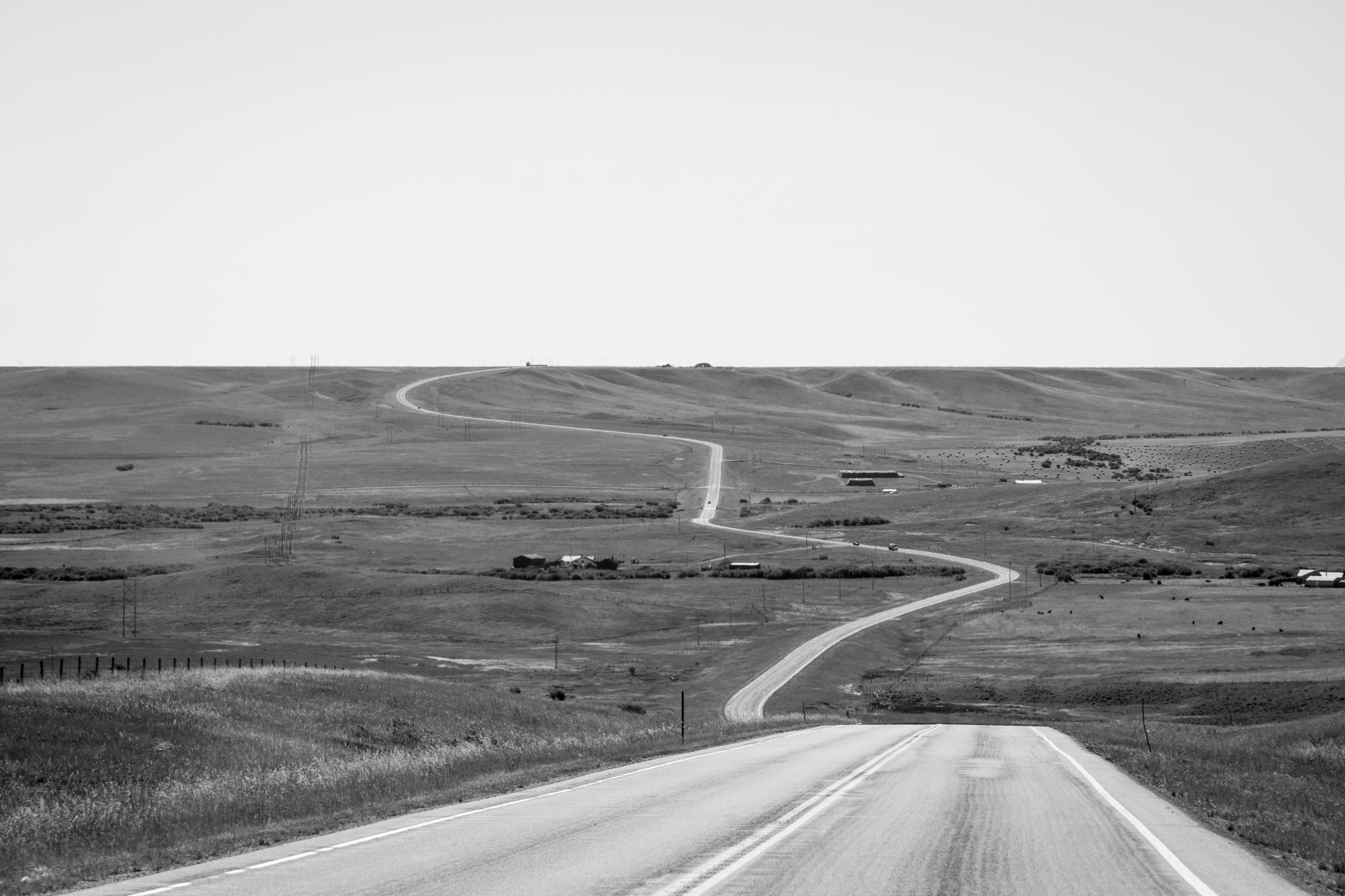
Photograph
Montana Secondary Highway 464 winding south through agricultural land in the Blackfeet Indian Reservation.
Near Reference Marker 18.5, Duck Lake Road, Browning, Montana
2019-09-03 1130:55
Published
Related Mount Sutro Article
The Call Of Sweet Sweet Nothing
Location
Data
| Pixel Resolution: | 5157×3438 |
| File Size: | 5.89 megabytes |
| Camera Model: | Canon EOS REBEL T2i |
| Shutter Speed: | 1/320 sec |
| Aperture: | f/8 |
| ISO Sensitivity: | 100 |
| Exposure Compensation: | 0 EV |
| Metering Mode: | Pattern |
| Flash Fired: | No Flash |
| Focal Length: | 96 mm |
| Lens Type: | EF-S55-250mm f/4-5.6 IS |
| City: | Browning |
| Province/State: | Montana |
| Latitude: | 48.786728333333 |
| Latitude Reference: | N |
| Longitude: | 113.18888666667 |
| Longitude Reference: | W |
Search