Photograph
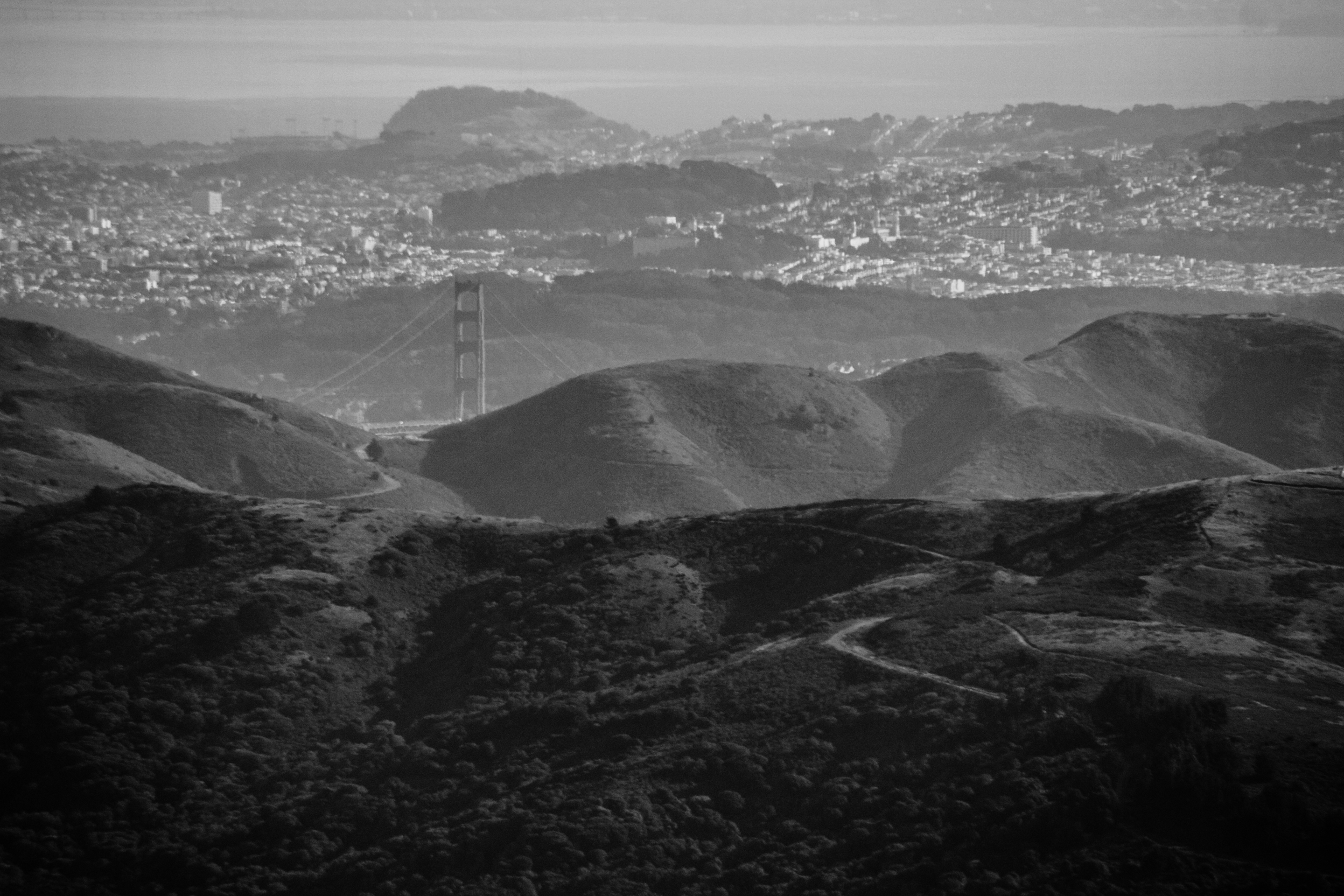
The Golden Gate Bridge (1937) poking up from behind the Marin Headlands with San Francisco beyond from atop the Mount Tamalpais East Peak summit at the end of the Plank Walk Trail in Mount Tamalpais State Park.
Near East Ridgecrest Boulevard, Marin County, California
2013-01-29 1433:15
Published
Related Mount Sutro Article
The Now and Forever
Location
Data
| Pixel Resolution: | 5184×3456 |
| File Size: | 7.93 megabytes |
| Camera Model: | Canon EOS REBEL T2i |
| Shutter Speed: | 1/400 sec |
| Aperture: | f/7.1 |
| ISO Sensitivity: | 100 |
| Exposure Compensation: | 0 EV |
| Metering Mode: | Pattern |
| Flash Fired: | No Flash |
| Focal Length: | 250 mm |
| Lens Type: | EF-S55-250mm f/4-5.6 IS |
| City: | Mill Valley |
| Province/State: | California |
| Latitude: | 37.9290466667 |
| Latitude Reference: | N |
| Longitude: | 122.577655 |
| Longitude Reference: | W |
Search