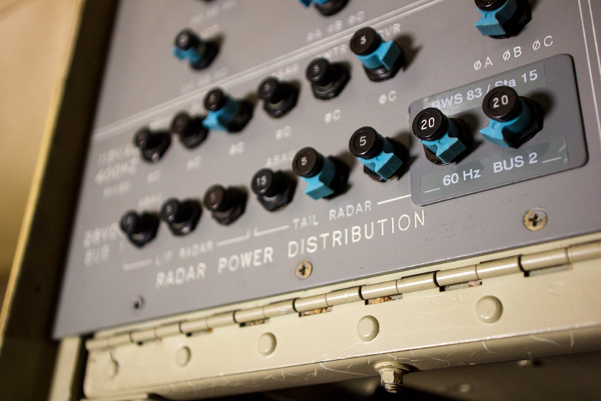
Radar power distribution bus panel at Crew Station 5 (Navigator) aboard National Oceanic and Atmospheric Administration Aircraft Operations Center 'Hurricane Hunters' WP-3D Orion N43RF.
Near 3256 Capital Circle Southwest, Tallahassee, Florida: 22 May 2014
part of the NOAA Hurricane Awareness Tour album
Over the past few years, I have built a number of simple tools to assist me as an emergency manager and for my own personal use. After the recent upgrades here, I also gave some of these resources a refresh. Although designed for my needs and subject to change without notice, two of these tools were recently made available here after I decided that they may be useful to others.
-
Mount Sutro Weather Dashboard
My Firefox home page at work, this page is a collection of current and forecast weather graphics, mostly originating from the National Weather Service. Each graphic also displays a menu on mouseover containing a download link to the full-sized version and links to other relevant graphics and web pages.
-
Tallahassee Camera Mosaic
My version of the video wall inside a traffic management center, this page shows the most recent capture from all ninety-five City of Tallahassee traffic cameras. The images are updated every few minutes, so the page refreshes itself automatically. Below each image is the name of the intersection linked to the camera's page on the city's website.
These tools are joined in the "Data Access" sidebar window by links to three outdoor weather cameras in Tallahassee (one hosted by FSU WeatherSTEM and the others by WCTV) and a battery of useful meteorological and natural event websites.


I have absolutely no idea what I could do with them, but those traffic cam photos give me a strange feeling of power.