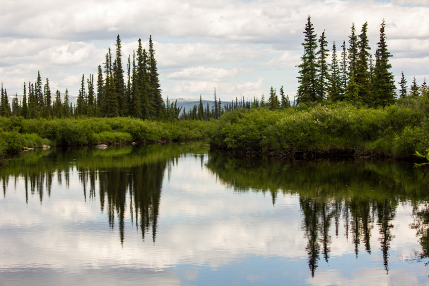
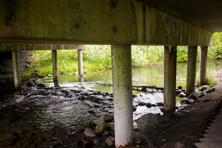
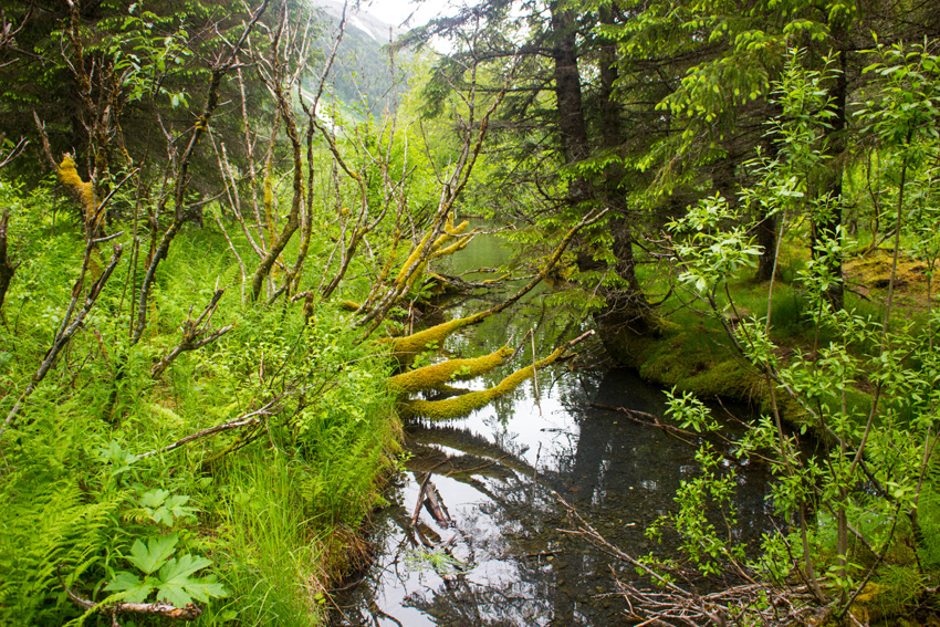
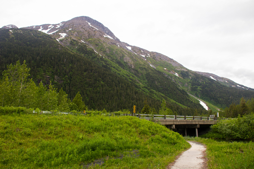
Trees and sky reflected in the calm waters of the Kanuti River.
MP 105.7 James W. Dalton Highway, Yukon-Koyukuk, Alaska: 26 June 2017
part of the Alaska 2017: Coldfoot to Fairbanks album
The Land Of The Midnight Sun
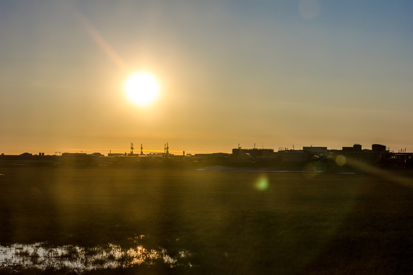
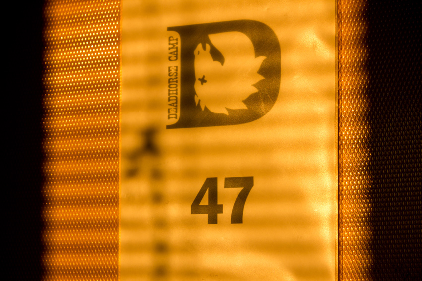
Northern view of the midnight sun over Prudhoe Bay, oil rigs and the Caribou Construction Camp from the window of Deadhorse Camp Room 47.
MP 412.8 James W. Dalton Highway, Prudhoe Bay, Alaska: 25 June 2017
part of the Alaska 2017: Prudhoe Bay and Deadhorse album
Despite the long day it had been driving north from Wiseman to Prudhoe Bay, I found my mind racing and unable to yield to sleep as I lay in one of the beds of Deadhorse Camp Room 43. Surprisingly enough, there was 3G cellular service so I scrolled through my many unread emails and read a few headlines. My insomnia was not, as you might think, related to the bright sunlight beaming into my room after midnight.
It was never night during my visit to Alaska, but I had no trouble sleeping in those conditions. Technically, the sun did set in the interior and southern parts of the state I visited, but most of those sunsets occurred after midnight with the sunrise only a few hours later. For example on Friday, 23 June 2017, the day I began my Dalton Highway adventure, the official sunset in Fairbanks was at 0047 followed by a sunrise at 0259. I could never tell the difference since the sky never darkens, only becoming a kind of perpetual light dusk.
North of the Arctic Circle in the summertime, there are no such technicalities in the way to confuse. Wanting to make the most of being awake, I decided that I should document the midnight sun and later amaze my friends with the timestamp (0151). Unfortunately, the western view from my room did not face the sun but this was irrelevant since parked trailers obscured the window. Not wishing to get dressed and go outside, I instead walked through the corridor to find an unoccupied room, easily identifiable by their wide-open doors.
As I walked into the adjoining section, it was easy to see that Room 47 was going to offer the requisite view since its open door allowed the bright sunlight to pour into the quiet corridor. The window offered a view in the correct direction yet was rather dirty. I nevertheless did my best to take several shots of the sun hovering in the skies over Prudhoe Bay shortly before two in the morning.
The Valley Of Ice And Rock
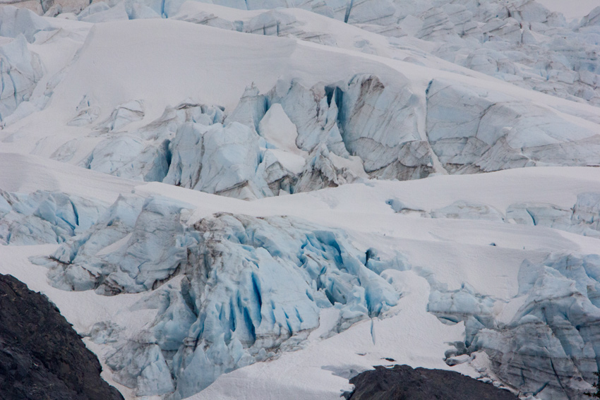
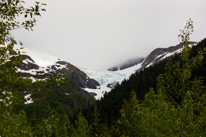
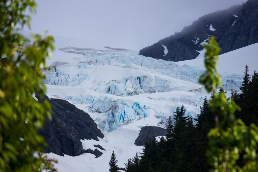
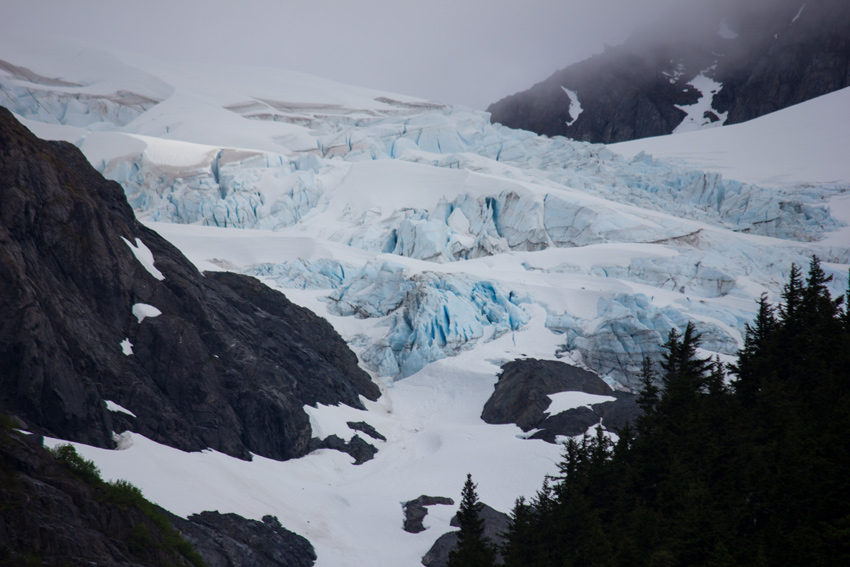
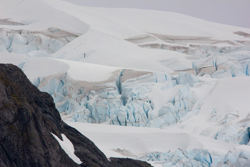
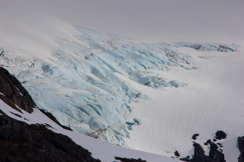
The blue ice of Middle Glacier in the Kenai Mountains visible from our Williwaw Campground site in the Chugach National Forest.
MP 4.1 Portage Glacier Road, Portage Valley, Alaska: 19 June 2017
part of the Alaska 2017: Portage Valley album
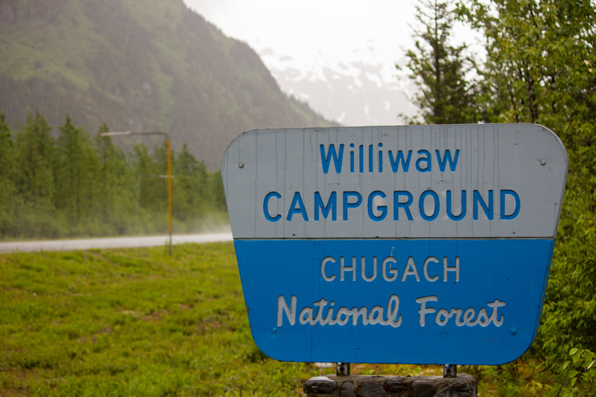
To serve as base camp during our time visiting Seward, Whittier and Prince William Sound, Mom selected an absolutely perfect campground nestled within Portage Valley in the Chugach National Forest. A facility of the United States Forest Service, Williwaw Campground is located about five miles west of Whittier and features nature trails, wildlife and spectacular views.
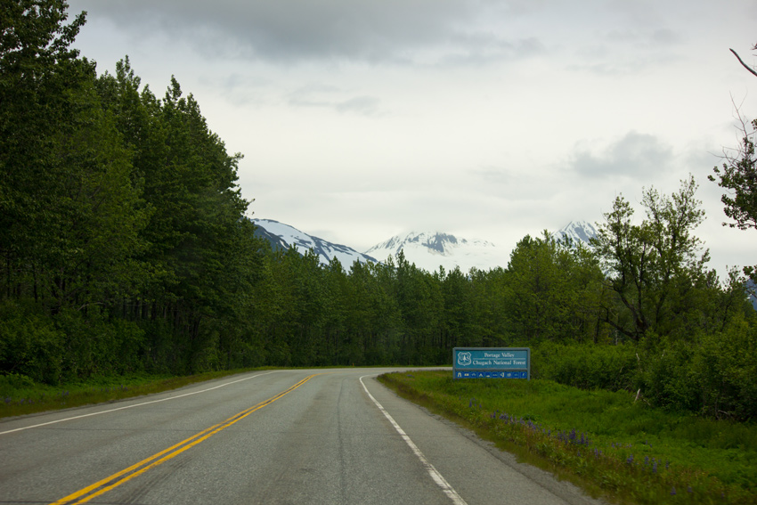
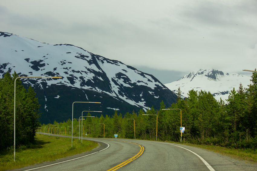
Driving to the campground from Seward Highway on Portage Glacier Road in a glaciated valley, one is surrounded by lush forests and looming, snow-covered mountains. It is a serene environment, even on an overcast and drizzly day. Near the start, there is a roadside sign for Portage Valley and the Chugach National Forest, a woodland spanning 5,361,803 acres and "comprised of arid tundra wilderness, jagged mountains, deep fjords and glacier-fed rivers that surround the Prince William Sound."
As in many areas throughout Alaska, Portage Glacier Road is lined with snow marker poles in sections, including just outside the Williwaw Campground. These safety devices allow wintertime drivers to see the edges of the roadway when the surface is covered with snow and ice.
Upon our initial arrival on Monday, 19 June 2017 at Williwaw Site 6, a large pull-through campsite surrounded by forest, my attention was immediately drawn to the glacier hanging in the nearby Kenai Mountains. Breathing in the crisp, cool air and enjoying the relative silence of this wilderness area, I walked around the spacious site and tried to capture through photographs the stunning blue ice of Middle Glacier. There are a number of nearby glaciers, including Explorer Glacier to the west and Byron Glacier to the east, but I was ecstatic seeing one right from our campsite.
After taking several photos, I switched to Mom's Tamron SP 150–600mm lens — her big Christmas present from 2016 — and took additional closeup shots of Middle Glacier, including the one atop this article. I was amazed by the beauty of blue ice.
The campsites at Williwaw are nicely spaced compared to many other campgrounds. There are no connections for electricity, water or sewers, but water pumps and vault toilets are placed around the campground for tent campers.
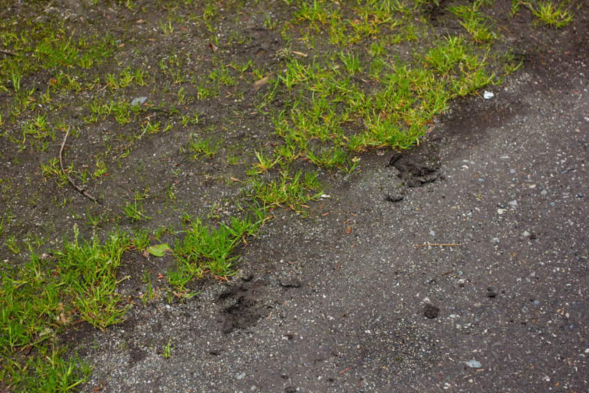
Wildlife typical to Alaska are known to frequent the area, yet despite the numerous bear warning signs around, our only animal encounter was with a moose. It happened to be in our campsite one morning as we opened the camper door, but quickly ran off into the woods leaving some tracks behind.
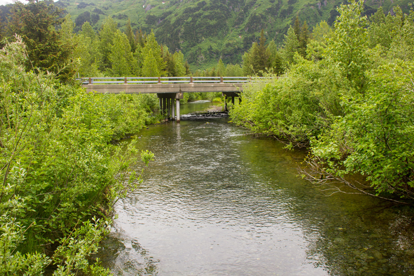
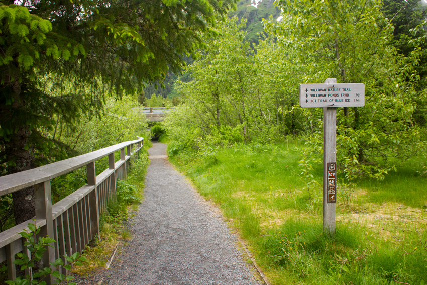
Two nature trails are accessible from the campground, one of which we briefly explored before departing the area on Thursday, 22 June 2017. Following a small trail just east of our campsite leads to a parking lot accessible from Portage Glacier Road. This lot is for the Williwaw Fish Viewing Platform, where a boardwalk allows visitors to watch spawning sockeye, chum and coho salmon in the stream from their arrival in late summer through early autumn.
Beginning next to the platform, the Williwaw Nature Trail (1.25 miles) follows the Williwaw Creek under Portage Glacier Road over to an area with four ponds. After winding around the ponds, the trail crosses the road and heads south to an intersection with the Trail of Blue Ice (5 miles), running between the Moose Flats Day Use Area and Portage Lake.
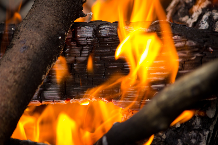
Back on Monday, not long after our arrival and my glacial photo shoot, we built a campfire. It was chilly that day (high 58° F, low 32° F), so we sat closely around the fire for its warmth. I also enjoyed a few bottles of Coldfoot Pilsner Lager by Silver Gulch Brewing and Bottling Company based in Fox, Alaska.
From my seat at the fire, I need only look up in between the trees to see Middle Glacier. Except for a neighboring camper who bafflingly ran a generator for a while, Williwaw Campground was quiet, peaceful and absolutely wonderful.
The Passing Of A Talkeetna Legend
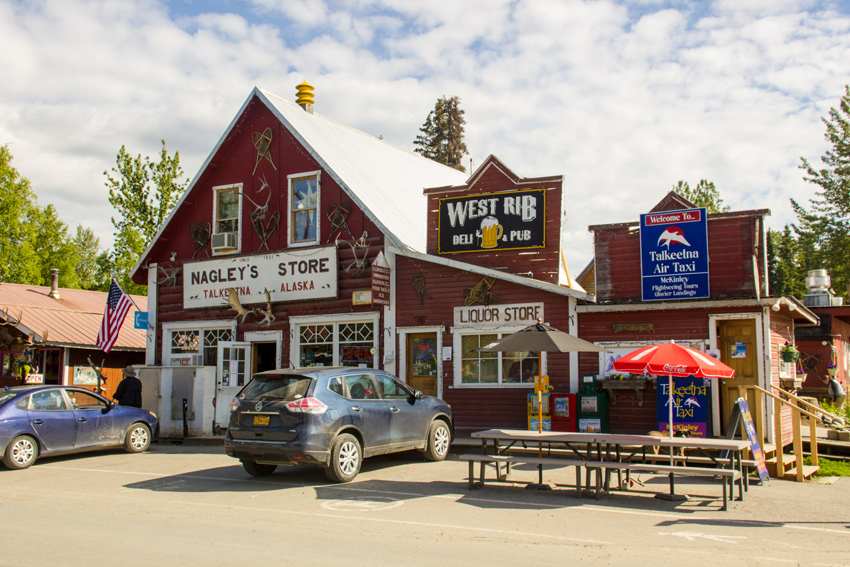
Storefronts for Nagley's Store, home of Stubbs the Cat (1997–2017), West Rib Pub and Grill and Talkeetna Air Taxi.
13650 East Main Street, Talkeetna, Alaska: 18 June 2017
part of the Alaska 2017: Talkeetna album
Even though I had no expectations of it happening, I was hoping to see Stubbs the Cat at Nagley's Store during my visit to Talkeetna, a lunchtime stop on the drive from Denali to Anchorage on Sunday, 18 June 2017.
As expected, we were told that the twenty-year-old cat preferred to stay at home these days. We learned that Denali and his sister Aurora, both born in the summer of 2016, were assuming Stubbs' duties but we did not spot either of them. Not that I need an excuse to visit with kitties, but it was Stubbs' honorary title as mayor that, like for many others, drew us to seek him out.
The mythology of Stubbs' mayoral status is documented by the Alaska Dispatch News, but in short the legend says that the feline was "elected Talkeetna's mayor in a 1990s write-in bid mounted by voters unhappy with the human candidates." Of course, as an unincorporated community falling under the jurisdiction of the Matanuska-Susitna Borough, Talkeetna has no mayor and there was no write-in election. Nonetheless, the charming story spread and made headlines worldwide.
Patrolling and hanging out in the store and neighboring West Rib Pub and Grill, Stubbs received a lot of visitors and attention. The Spone Family, current owners who purchased the businesses including Stubbs in 2015, said that over seventy-five percent of visitors asked about the cat mayor during their first year of ownership. Even then, Stubbs was preferring the quiet of home away from the spotlight. He came out even less in 2016 and 2017, but still did so occasionally.
Sadly, Stubbs passed away in his sleep overnight between Thursday, 20 July and Friday, 21 July 2017 according to a touching history of and tribute to Stubbs ![]() published by the Spones. He was twenty years and three months old.
published by the Spones. He was twenty years and three months old.
The Sentinels Of Space
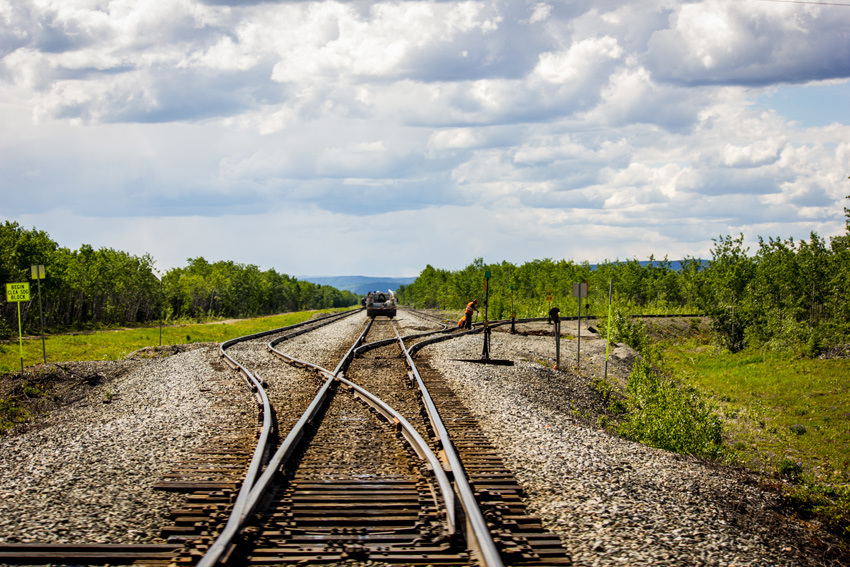
A hyrail truck and Alaska Railroad workers performing switch maintenance on a spur near the Clear Highway grade crossing just outside Clear Air Force Station.
Clear Highway at Alaska Railroad MP 392.9, Anderson, Alaska: 15 June 2017
part of the Alaska 2017: Fairbanks to Denali album
A little over sixty percent of the way from Fairbanks to Denali National Park and Preserve on George Parks Highway is the road to Clear Air Force Station. Although obviously a restricted area, I decided that we should take a brief detour down Clear Highway to see what we could see.
Acquired by the United States Department of the Interior in 1949, the station's land was first used as a gunnery range for Ladd Air Force Base (now Ladd Army Airfield) in Fairbanks. In August 1958, the United States Air Force started building a new base to serve as a ballistic missile early warning site. Construction of the Clear Missile Early Warning Station was completed on Saturday, 01 July 1961 and the station became fully operational in November 1961.
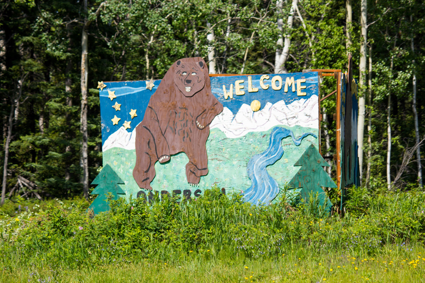
The road to the station is also a segment on the way to Anderson, so there is a wooden welcome sign located at the intersection of George Parks Highway and Clear Highway. The prospering plants in front of the sign now partially obscure it.
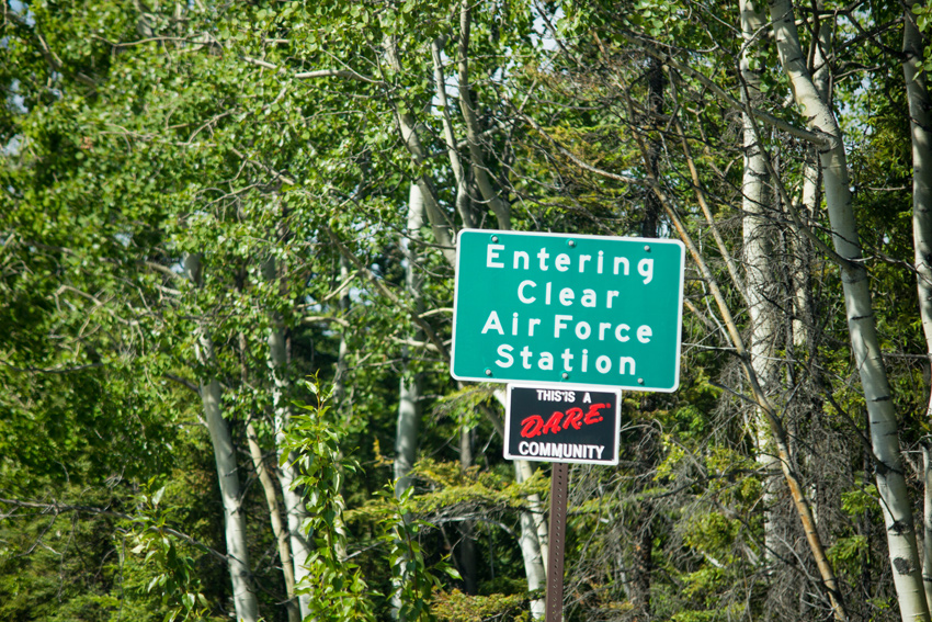
I did not get a very good picture of the base's main entrance sign, but there is a street sign advertising it on Clear Highway not far from the George Parks Highway intersection.
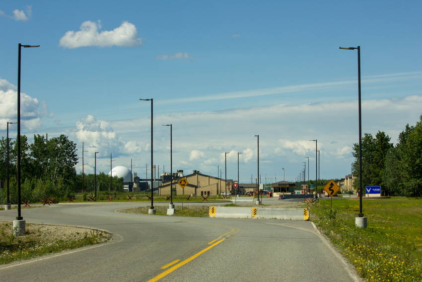
Approaching the gate, the main entrance sign is to the right while a large white radome is visible at the left. With a diameter of 104 feet, the geodesic structure houses a tracking radar and is part of the original warning system.
Not visible from the roadway, a solid-state phased array radar system was added starting in April 1998. It replaced the legacy system upon going operational in January 2001.
We turned around and backtracked Clear Highway to resume our course to Denali. Not far from the gate is the rail crossing at Alaska Railroad Milepost 392.9. South of the roadway, the rail line splits adding two parallel spurs and also features a running track to Clear Air Force Station, which ends at the base power plant.


