Mount Sutro: An Electronic Periodical

421112024
0457Hours EST
5.25-inch Floppy Diskette Article Archive

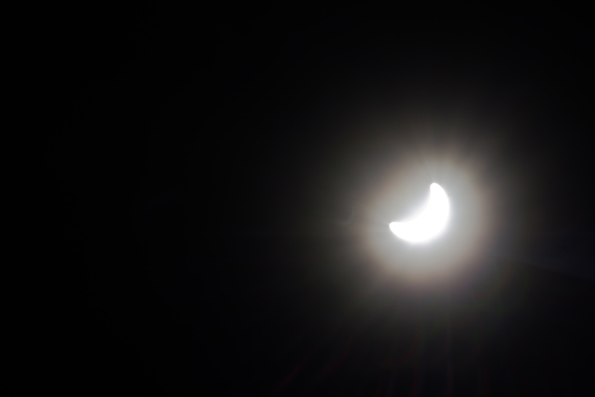
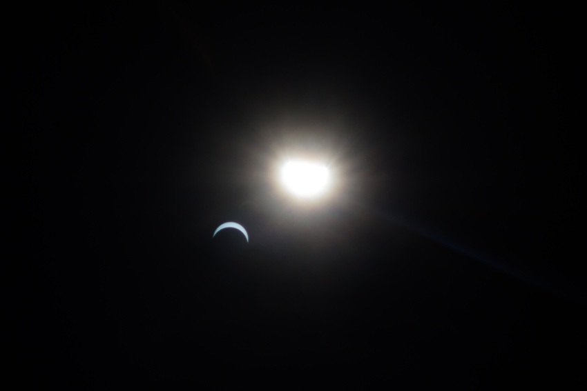
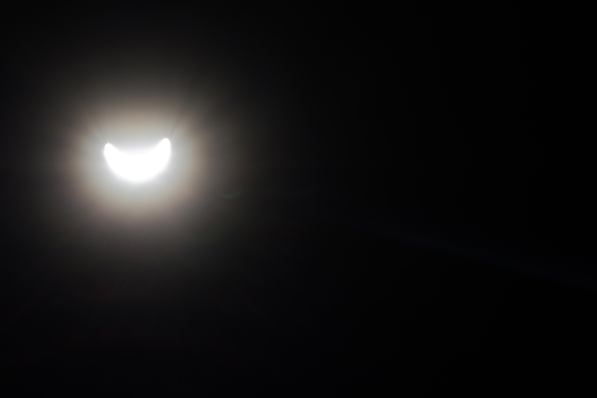
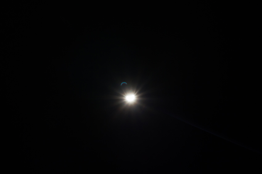
The Sun Is Eclipsed By The Moon

The moon partially obscures the sun during a total solar eclipse on Monday, 21 August 2017.

1430 Ocala Road, Tallahassee, Florida: 21 August 2017

part of the Solar Eclipse 2017 album


Watching the live video feed from Oregon earlier today, I regretted not travelling to an area that would experience solar eclipse totality. A combination of factors ultimately led to my decision to stay in town rather than trek up to a national park in Tennessee or South Carolina; none of those reasons seemed particularly important after watching day turn to night in towns coast to coast.

You might think that I was otherwise prepared, yet sadly this was not so. The filters I have for my lenses are for basic ultraviolet filtration as well as physical protection of the lens glass. I should have purchased an appropriate solar filter for this occasion but that did not happen. Since I was not going to let my lack of preparation keep me from trying, I threw caution to the wind and did my best to shoot the eclipse without destroying my camera.

Following some experimentation, I decided to use upper and lower limit settings in an attempt to get anything more than a bright, frame-filling wash of light. Shooting at ISO 100 with a shutter speed of 1/4000th of a second and a stop of F/22, I had some success in producing images that revealed the moon's passage, albeit with interesting artifacts and flares. None of my sixty-eight frames captured the gorgeous detail of the eclipse, however these attempts did result in a few publishable photographs.

Although we did not experience the darkness of totality, it was fascinating to see the change in daylight as the maximum coverage occurred in Tallahassee. It was subtle to start and reminiscent of a large cloud momentarily blocking the sun on an otherwise hot and bright summer day. The difference this afternoon was that there were no accompanying shadows. The sun's light was still covering the ground equally, but the intensity was turned down several notches.

The next total solar eclipse in the lower forty-eight will occur on Monday, 08 April 2024. With totality occurring in a swath from Texas to Maine — and bisecting my original hometown of Buffalo, New York — there will be any number of potential destinations that I would enjoy visiting for a few days. I do not yet know where that will be, but rest assured my camera will be solar filter equipped before I get there.

The Cat And Moose Game

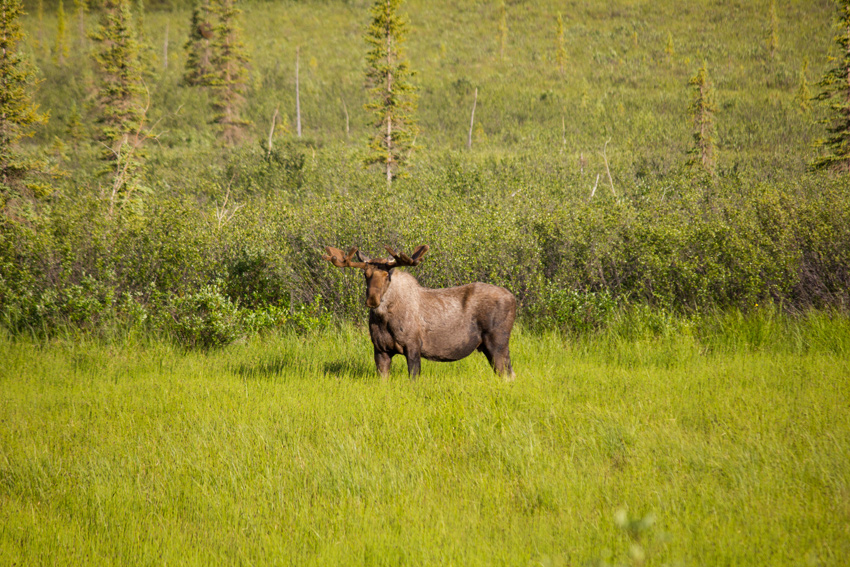
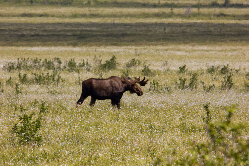
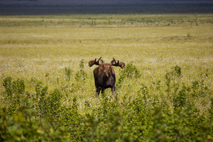
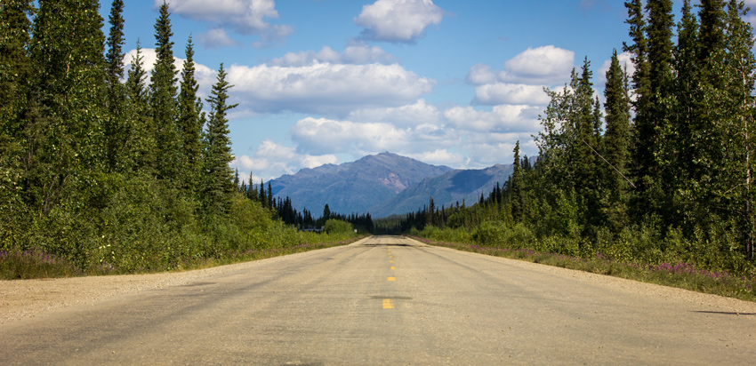
A moose (Alces alces) bull browsing and eating grassy vegetation next to the Dalton Highway (AK 11).

MP 193.9 James W. Dalton Highway, Yukon-Koyukuk, Alaska: 25 June 2017

part of the Alaska 2017: Prudhoe Bay to Coldfoot album


As numerous as they were across the region — see "The Moose On The Loose" and "The State Mammal Of Alaska" — most of the moose I encountered were either cows or cows with calves. Fortunately, I did see at least four moose bulls including two while driving southbound on the James W. Dalton Highway.

The first Dalton bull was browsing and eating grassy vegetation southeast of the highway when we drove up and then stopped to check him out. Although it looked our way a few times during the five minutes we watched, this moose was not interested in or concerned by our presence instead staying focused on his foraging. As we were seven hours into our drive with thirty minutes left to Coldfoot, I resumed our course south and left this moose to his herbivorous meal.

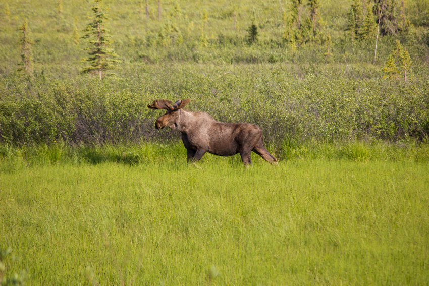
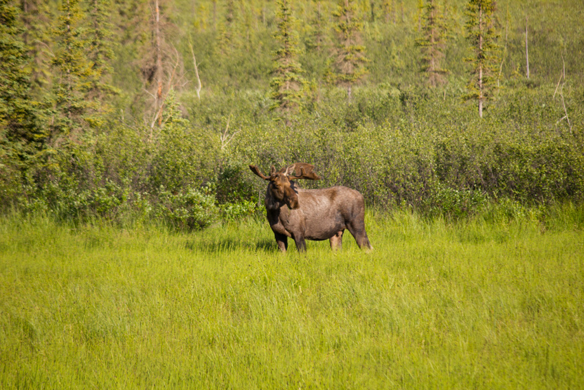
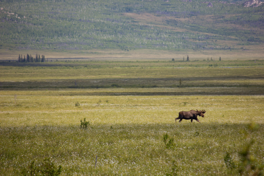
We encountered a second bull the following day after being on the road for three hours and fifteen minutes. Spotting the bull walking south through grassy flatlands east of the Dalton, I pulled over into a Trans-Alaska Pipeline access road not far from the site of Old Man Camp (1974–1977), one of thirty-one temporary construction facilities that housed the thousands of workers who built the pipeline.

The moose was walking at a rather rapid pace, focused on an unknown destination without browsing or eating any of the grasses he passed through. After a few minutes, the moose was at his closest point to us not only latitudinally but longitudinally as well. Almost as if the moose was preoccupied in thought and then suddenly noticed us sitting there, he stopped suddenly to look at us head-on. A minute passed before he turned around and walked east away from the road, apparently wanting no part of us.

Visit the Prudhoe Bay to Coldfoot and Coldfoot to Fairbanks albums to see all fifteen published photographs of these moose bulls.

The Moose On The Loose

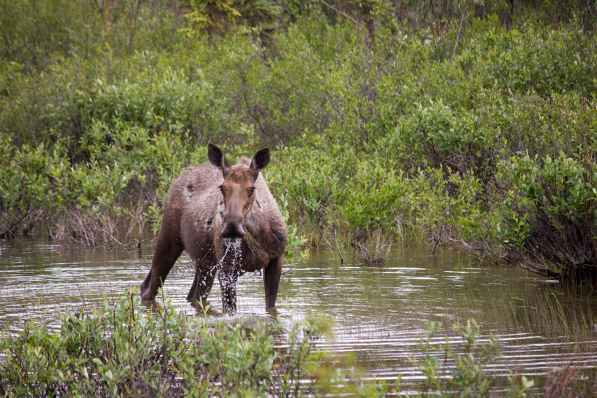
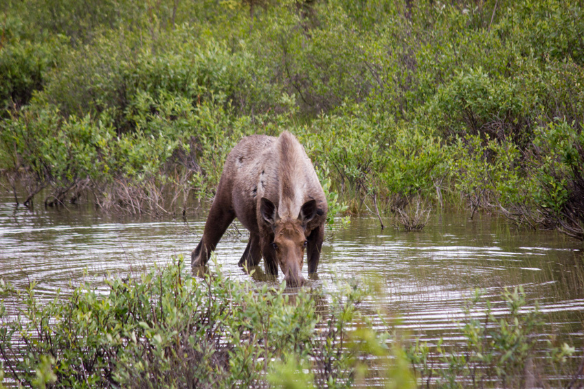
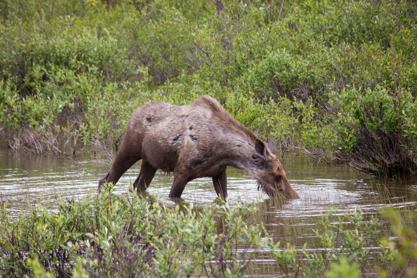
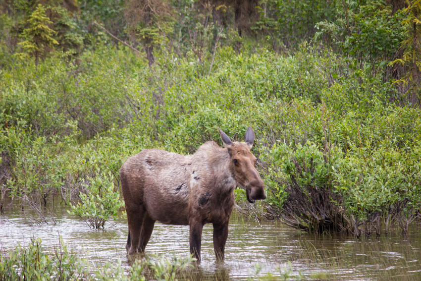
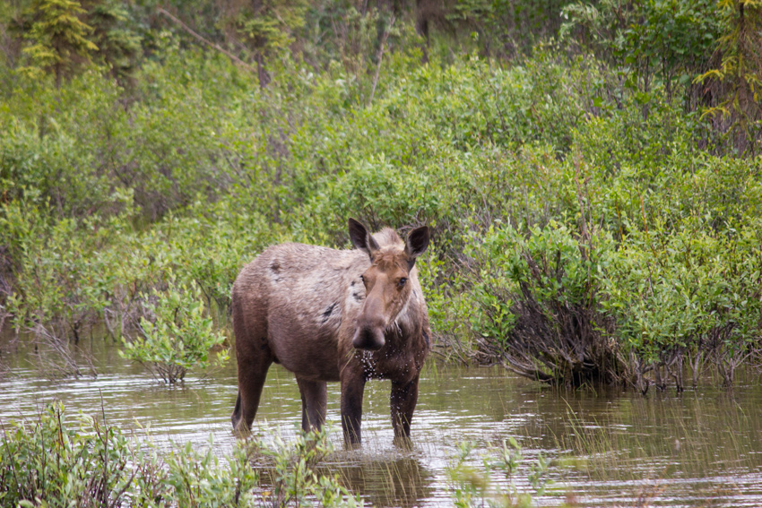
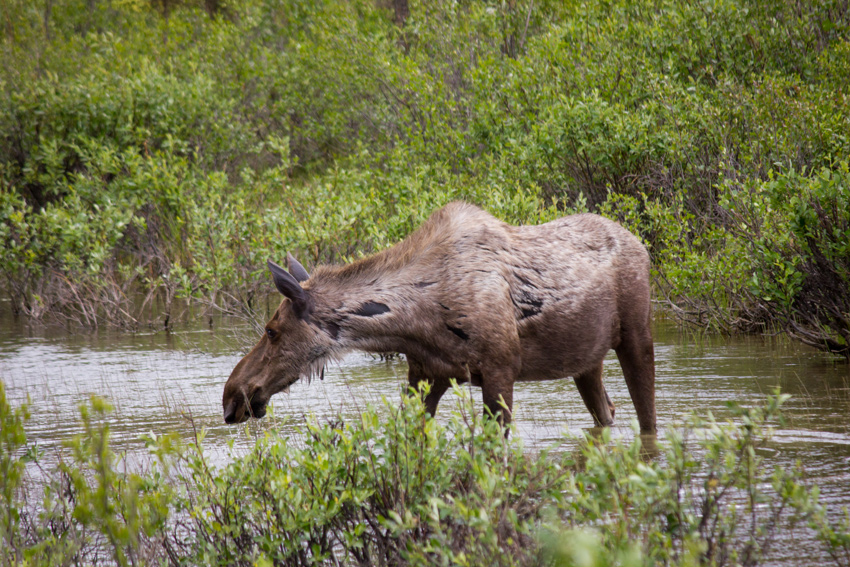
A moose (Alces alces) cow wading in a small Middle Fork Koyukuk River tributary eating aquatic vegetation right next to the Dalton Highway (AK 11).

MP 205.4 James W. Dalton Highway, Yukon-Koyukuk, Alaska: 24 June 2017

part of the Alaska 2017: Wiseman to Prudhoe Bay album


Only twenty minutes after our lucky Canada lynx sighting on the James W. Dalton Highway, we came across a moose cow wading in a small and shallow tributary of the Middle Fork Koyukuk River. Even after seeing many moose throughout Alaska and having a very close encounter in Denali National Park, I was always very excited to come upon another of these large and lovely herbivores.

This moose cow was browsing the water for and eating the grasses growing very close to the road. After I pulled over next to the moose, she looked up at us but did not seem in the least bit concerned about our presence. We took a number of photographs while she ate the plants, watching her for about five minutes before continuing our journey north to Prudhoe Bay.

Visit the Wiseman to Prudhoe Bay album to see all nine published photographs of this moose.

The Short Time To Be There

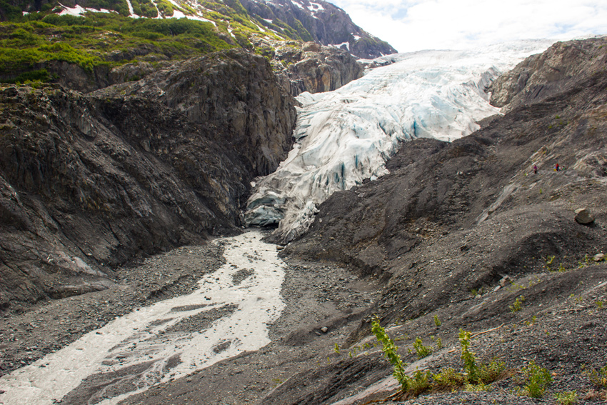
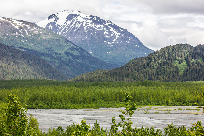
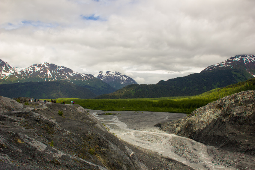
Meltwater flowing from the base of Exit Glacier to the Outwash Plain from a lookout on the Edge of the Glacier Trail.

Edge of the Glacier Trail, Kenai Peninsula, Alaska: 20 June 2017

part of the Alaska 2017: Kenai Fjords National Park album


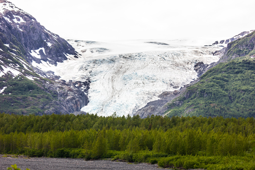
In the middle of our day visiting Seward, we decided to take advantage of a break in the rainy weather to drive to the nearby Exit Glacier in Kenai Fjords National Park. Known for its accessibility to visitors, Exit Glacier was named following the first expedition across the expansive Harding Icefield in 1968 by Jules Jakob "Yule" Farenorth Kilcher (1913–1998), David L. Spencer (1915–2000) and several other men. Traversing the ice mass on skis from Kachemak Bay northeast over several days, the expedition ended their journey by coming down a glacier near the Resurrection River, which became known as Exit Glacier.

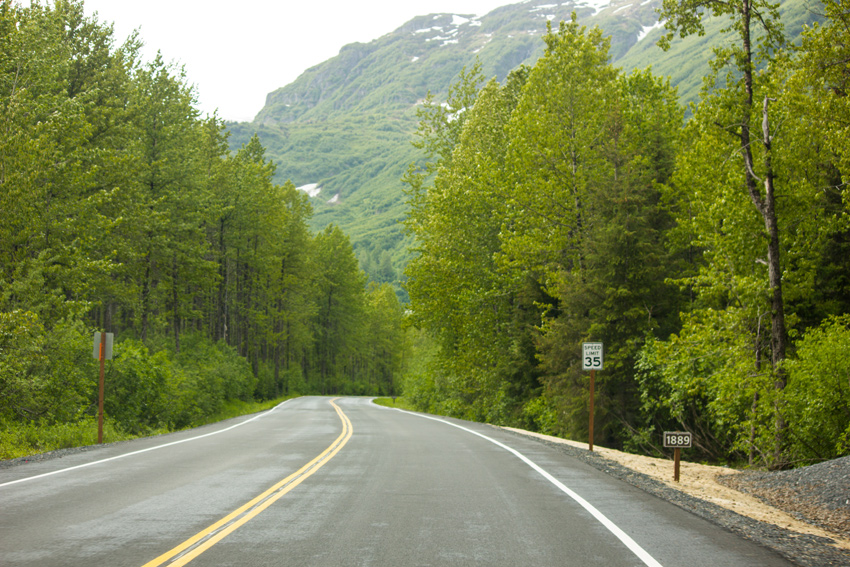
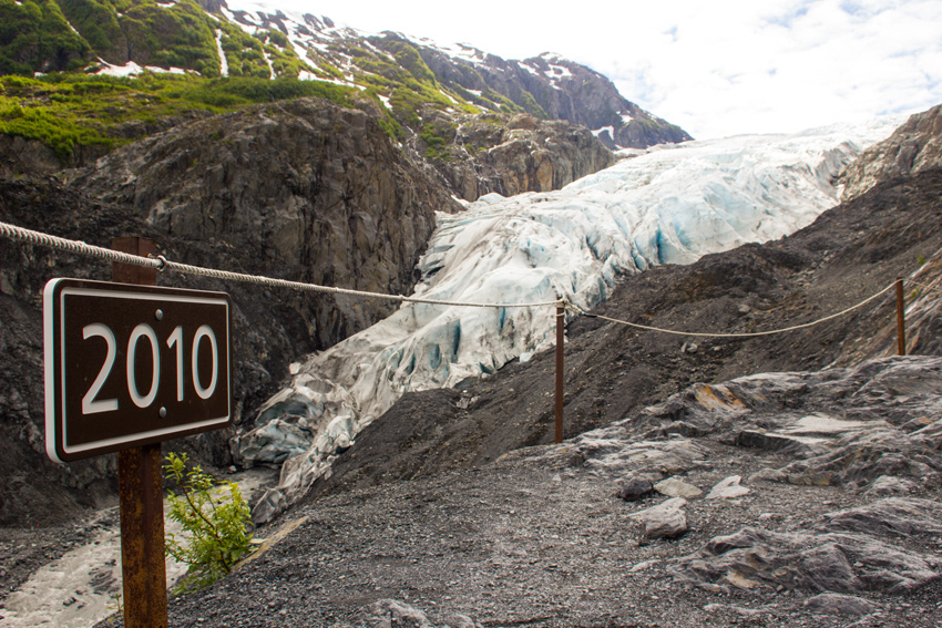
Given its ease of access and resultant popularity, Exit Glacier also serves as one of the more visible indicators of climate change. Starting soon after the Kenai Fjords National Park entrance sign are a series of markers with a year printed on each. Showing the extent of Exit Glacier in that year, these markers traverse 195 years of recession beginning at 1815 — over two miles from the current extent — and continue past the end of the road up the trail to the glacier where a final marker depicts the 2010 extent.

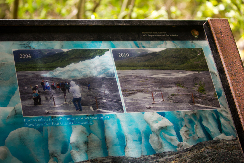
Not far from the nature center trailhead is a pavilion with several information signs discussing the retreat of Exit Glacier and the broader affects of climate change on the seasons, flora and fauna. The pavilion was originally built in 1987 as a shady spot with excellent views of the glacier. Today, the entire area surrounding the pavilion is lush woodland with zero visibility of the ice.

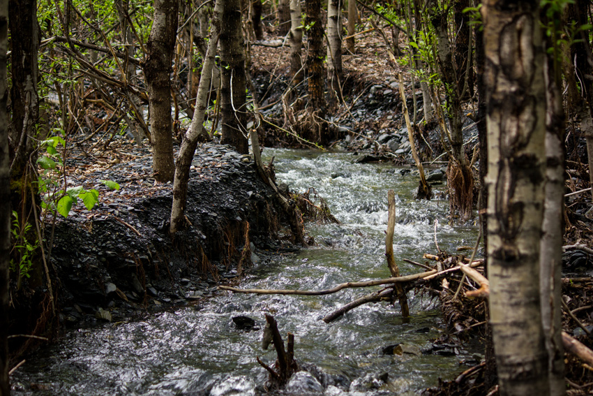
Continuing past the pavilion, the paved trail ends and a more strenuous hike winds up and through the woods, over a creek and finally onto newly de-glaciated bedrock. Along the way, there are a few spots where breaks in the canopy permit viewing of the valley, Outwash Plain and mountains. These spots were also welcome because of the breeze they offered. The air moving through the valley kept Alaska's notorious mosquitos at bay everywhere except in the sections of dense forest on the trail.

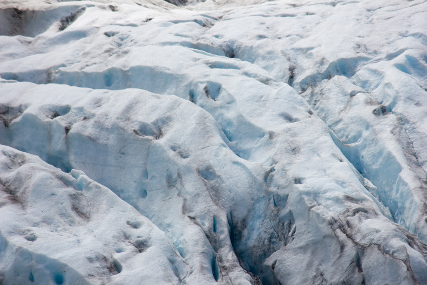
Emerging from the forest, the scenery changes to sweeping views of the valley, glacier and snowy mountains. Hiking on rocks that were entombed by the glacier not that long ago, the trail passes its former endpoint and then continues on a 540-foot spur added in 2006 to a lookout. As impressive as it was seeing the glacier, its meltwater flowing from the base to the Outwash Plain, I could not help but wish that I had visited sooner when it encompassed more of the valley.

It was possible to get a bit closer, so I hiked the 420-foot spur extension added in 2010 to the end of the Edge of the Glacier Trail. The steep terrain beyond this point means that the National Park Service will not be able to make any further extensions. The 2010 year marker and the current distance to the glacial toe offer a blunt reminder of how quickly this amazing ice mass has been melting over the past forty years. If the trends continue, it will not be long before visitors to this point will not see Exit Glacier.

Visit the Kenai Fjords National Park album to see all fifty-two photographs published from my trip to Exit Glacier.