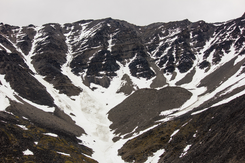
A partially snow-covered mountain of the Brooks Range at Atigun Pass (elevation 4,739 feet) at the Slide Path 23 pullout where the James W. Dalton Highway crosses the Continental Divide.
James W. Dalton Highway MP 244, North Slope Borough, Alaska: Saturday, 24 June 2017
part of the Wiseman to Prudhoe Bay album
The Lost Souls Swimming In A Fish Bowl
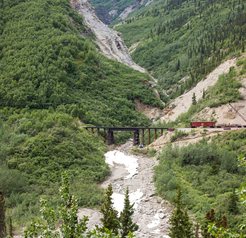
Three workers stand on the banks of the partially frozen Sheep Creek underneath an Alaska Railroad deck-type plate girder bridge as maintenance is performed on the structure near the creek's confluence with the Nenana River.
George Parks Highway MP 242, Healy, Denali Borough, Alaska: Thursday, 15 June 2017
part of the Fairbanks to Denali album
The Songs That We Hear Are Just Songs Of Our Own
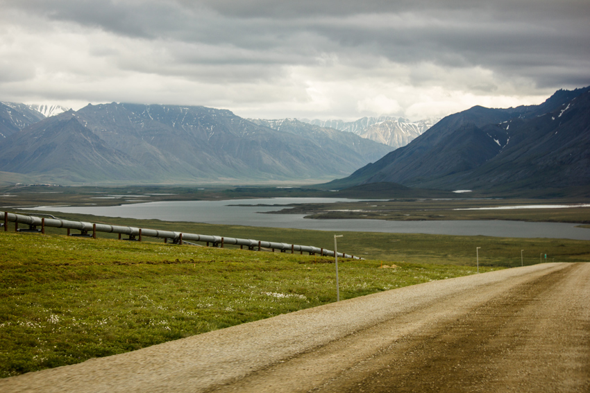
Alaska's Brooks Range, Galbraith Lake and the Trans-Alaska pipeline seen from just north of Milepost 275 on the James W. Dalton Highway (North Slope Haul Road/SR 11) seven-tenths of a mile from Galbraith Airport Road.
James W. Dalton Highway MP 275, North Slope Borough, Alaska: Sunday, 25 June 2017
part of the Prudhoe Bay to Coldfoot album
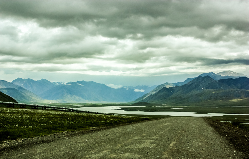
Driving south on the Dalton Highway, I was admiring the majestic mountains of the Brooks Range ahead as a body of water came into view. I quickly realized that this was a spot that I had anticipated.
"This is it," I exclaimed, quickly firing off a series of frames of the vista in front of us.
One of the impetuses for my journey to the last frontier was viewing photographs from my mother's trip there in June 2011. Still thinking about that adventure in October 2012, I did an edit of one of her photographs and published it here on Monday, 17 December 2012 as "The Way To Atigun Pass". It was the location of this photograph where I found myself now.
Although I had a longer lens installed at the time and was not able to reproduce the entire shot, the timing was just about right for this homage. With the similar cloud patterns overhead and disregarding the slight spatial differential — my shot was taken a bit south of mom's — the scene is very much unchanged in the intervening six years, save for the installation of Dalton Delineators shortly after her visit.
The Oceans Turn To Stone
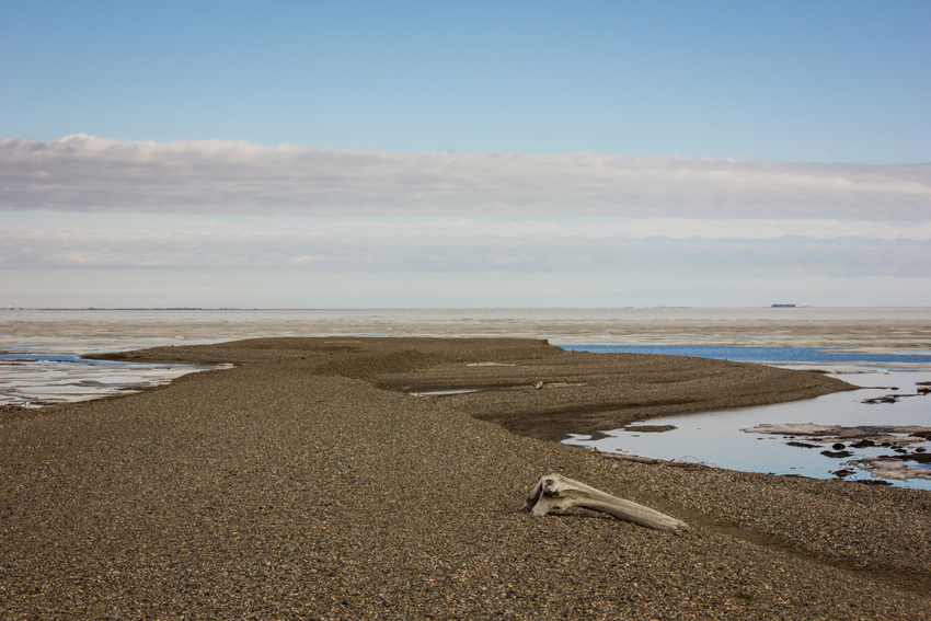
A piece of driftwood rests on the smooth rocks that comprise the East Dock Road spit jutting northwest into the icy waters of Prudhoe Bay and the Beaufort Sea at the Prudhoe Bay Oil Field.
East Dock Road, Prudhoe Bay, Alaska: Sunday, 25 June 2017
part of the Prudhoe Bay and Deadhorse album
The Words Half Spoken And Thoughts Unclear
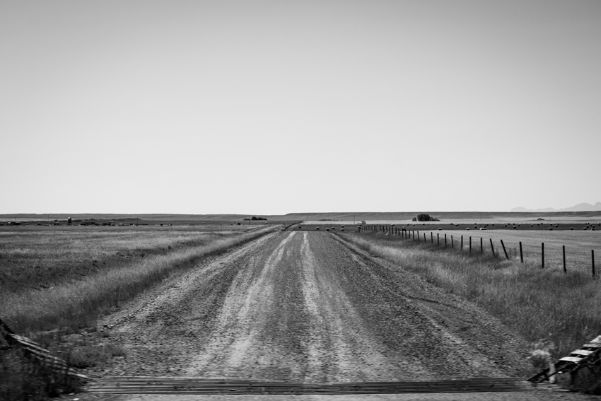
A cattle grid demarcates the start of dirt and gravel Chatterton Road leading to agricultural lands inside the Blackfeet Indian Reservation.
U.S. Highway 2 at Chatterton Road, Cut Bank, Montana: Tuesday, 03 September 2019
part of the Glacier National Park To Deer Lodge album


